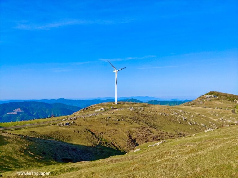
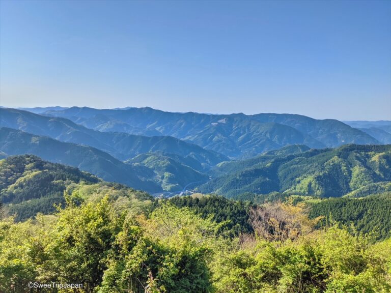
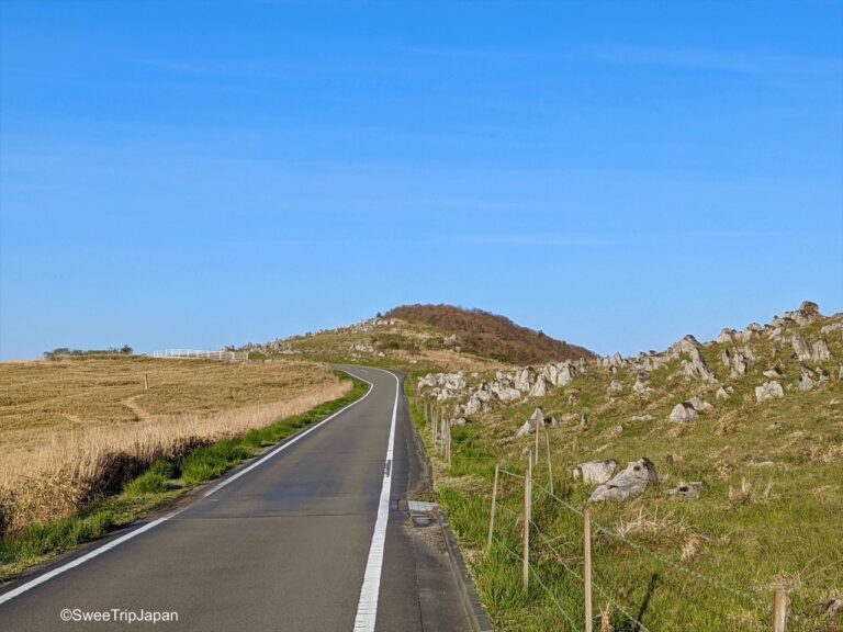
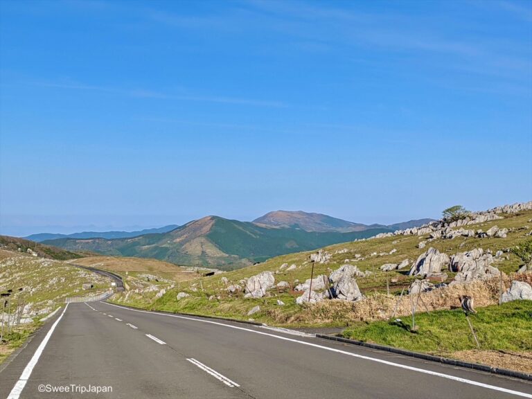
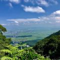
Shikoku Karst Natural Park is a karst plateau on the prefectural border between Ehime and Kōchi prefectures. Its elevation is about 1,400 m. And it is one of Japan’s three largest karst landforms.
What can you see here
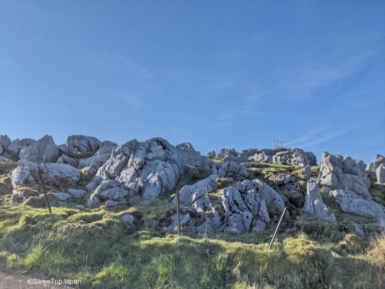
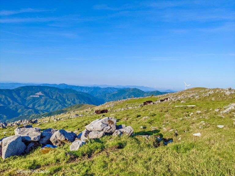
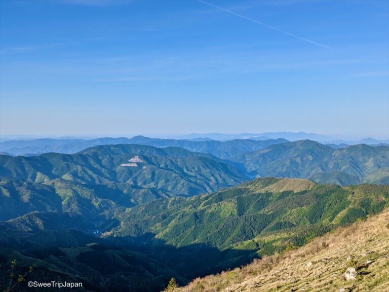
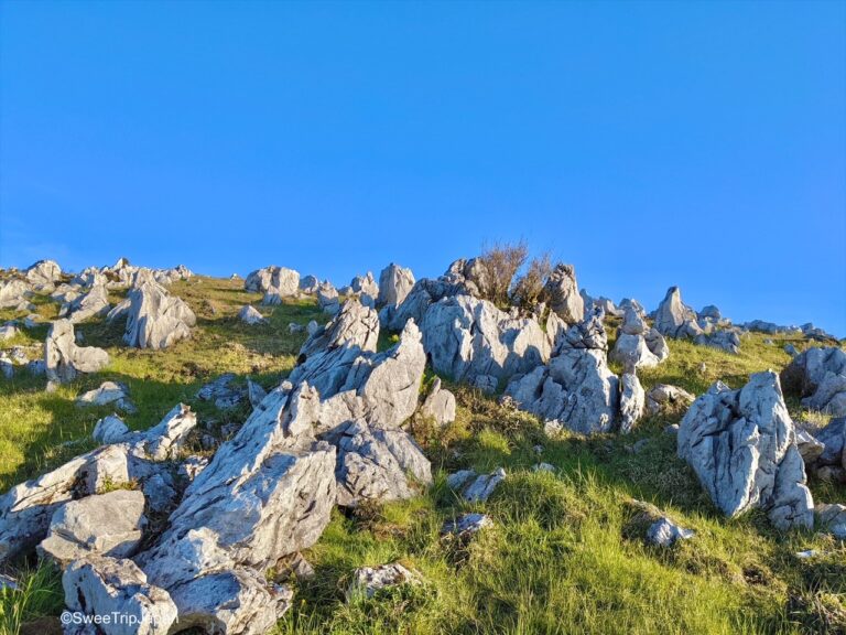
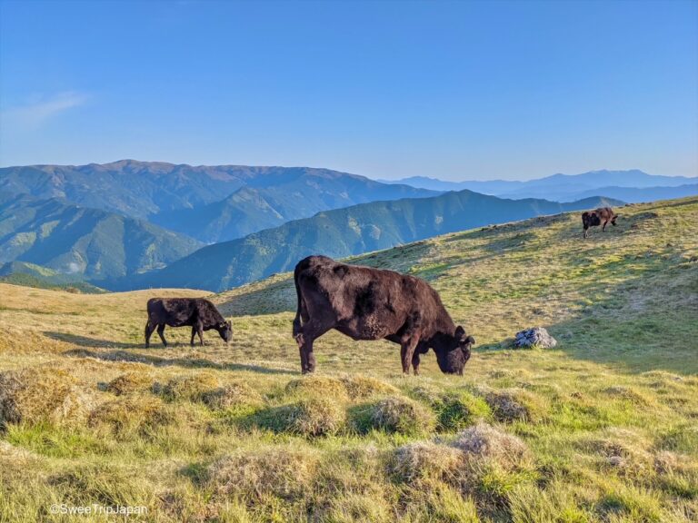
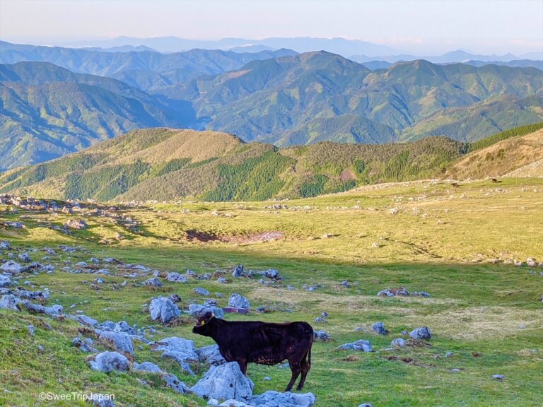
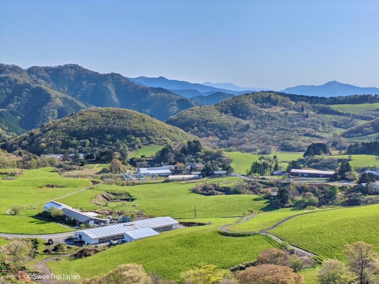
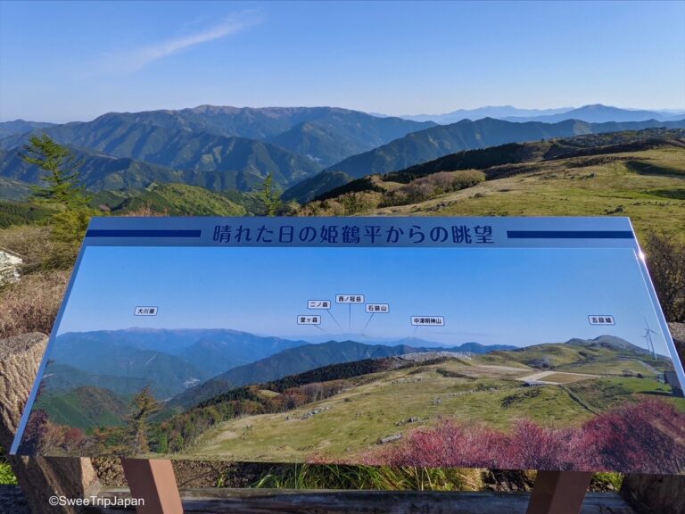
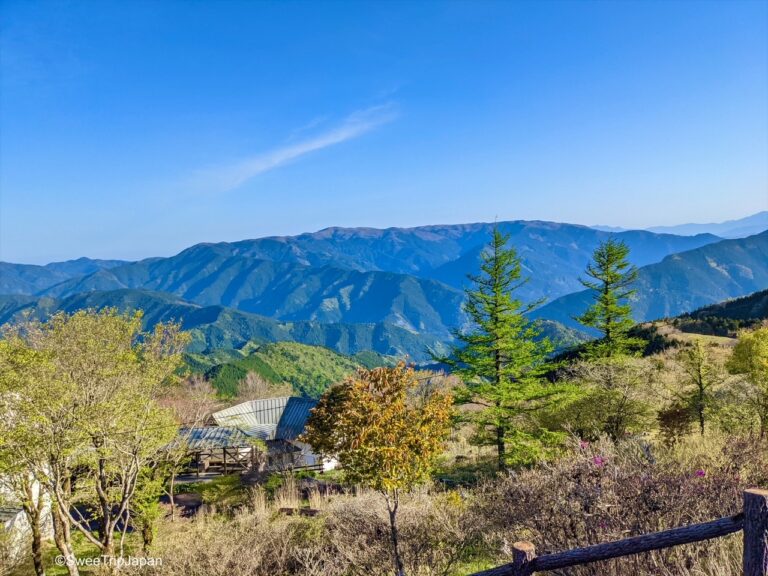
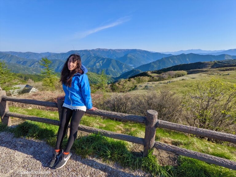
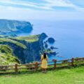
You can experience nature of a different kind ; The sweeping grasslands of the area are scattered with white limestone mounds and conical sinkholes. The Karst extends along rolling mountains and has multiple trails with expansive panoramas views. As the seasons change the lush green meadows of spring fill with alpine plants in the summer, that morph into colourful foliage before the landscape turns into a snow-dusted winter wonderland.
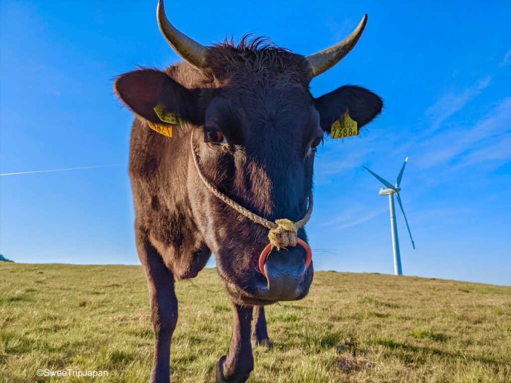
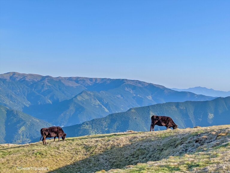
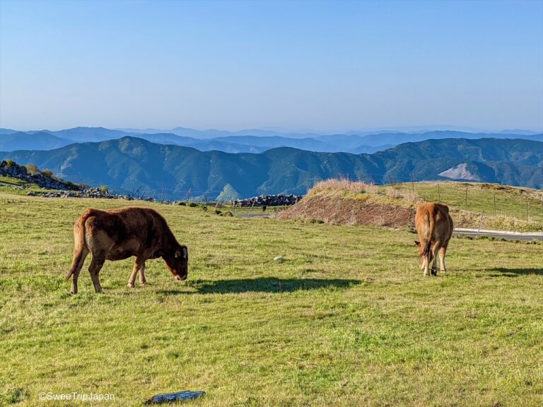
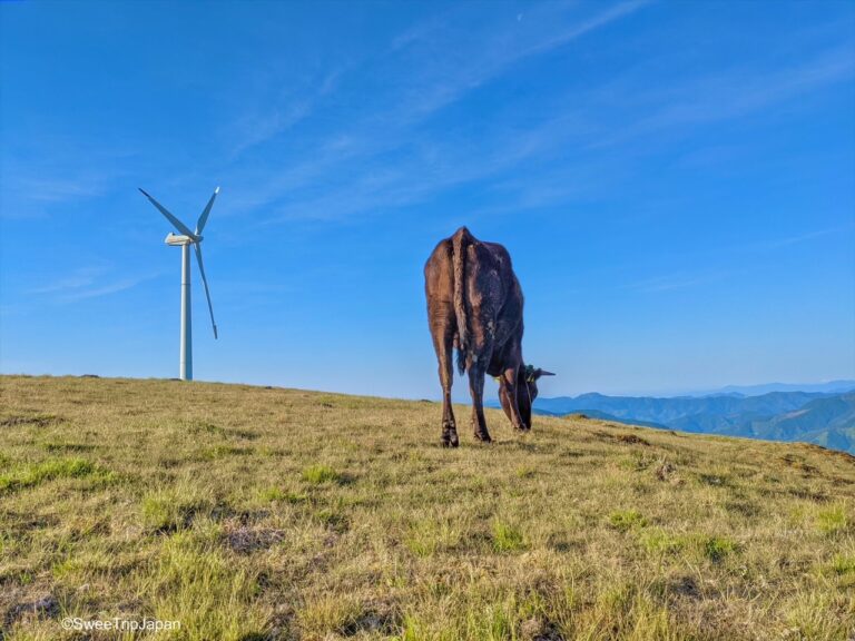
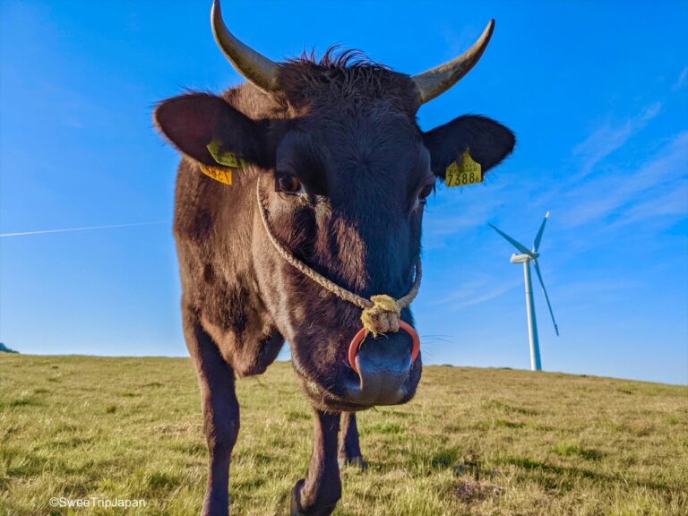
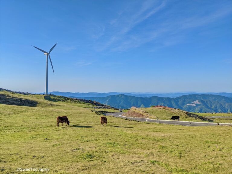
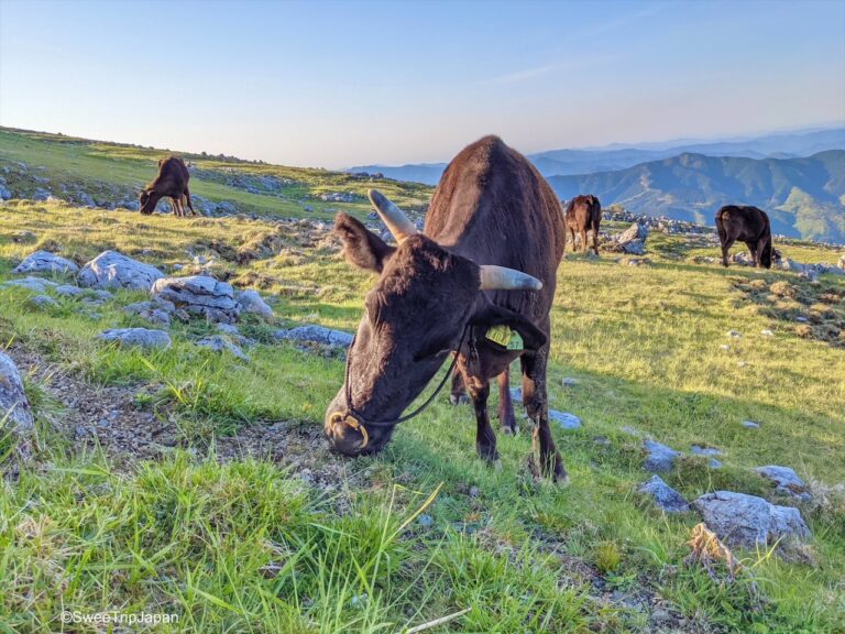
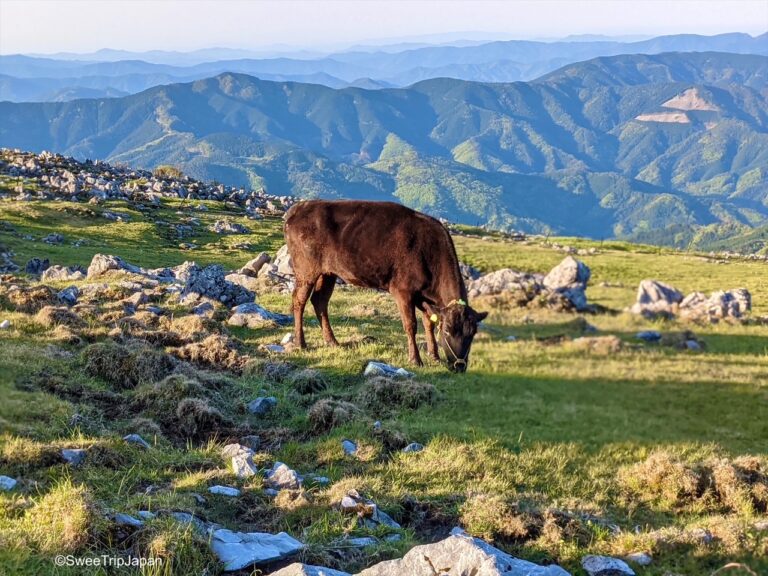
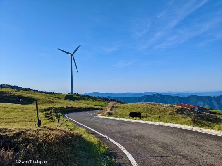
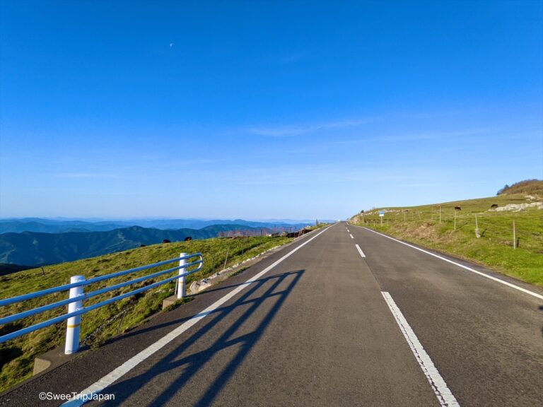
Visitors can watch cows grazing from spring through fall, creating a soothing, idyllic view.
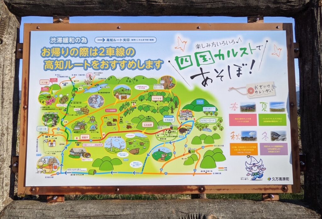
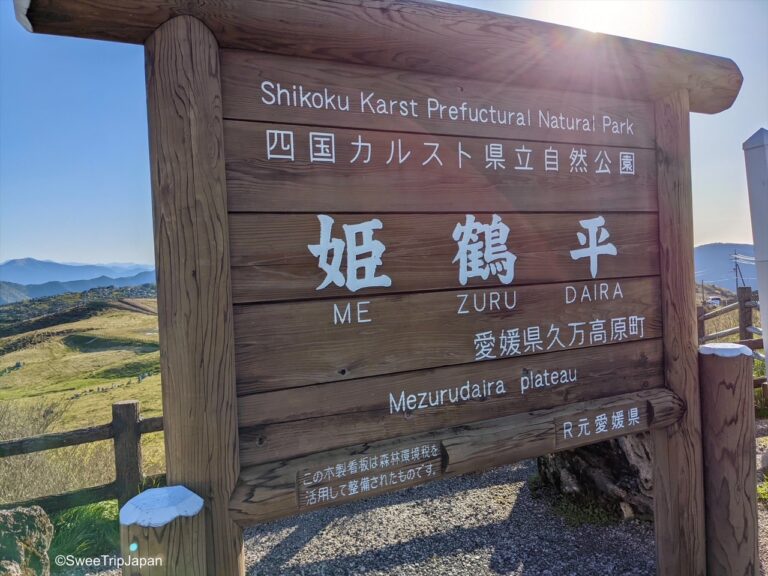
The area is has three parts; The Tengu Plateau (which is known as an area where milk cows are pastured), Keyakidaira (mossy trails and ancient trees in a forest) and Mezurudaira ( which the unique landscape of white limestone can be seen)
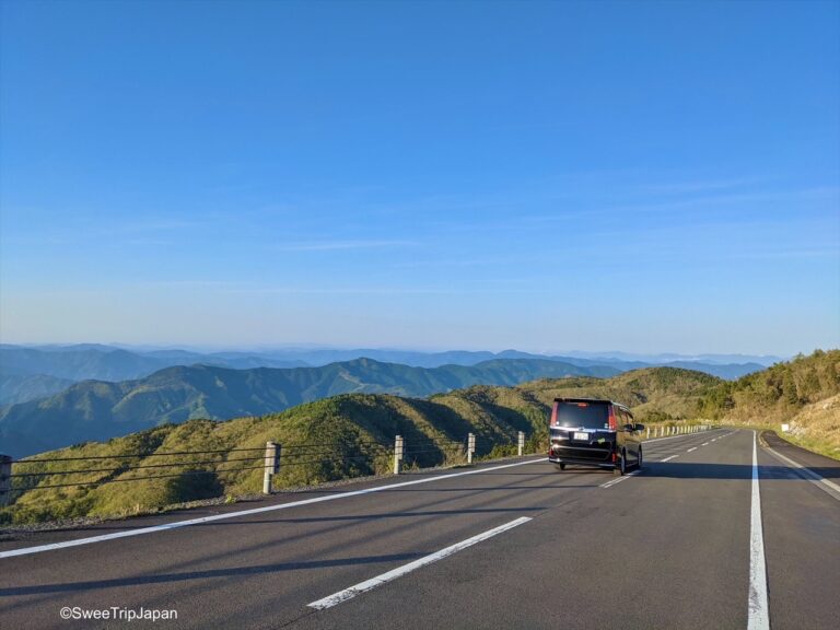
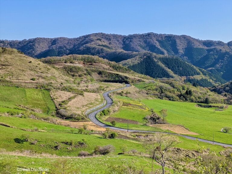
Route 383 is known as “tenkū no michi” (天空の道) which trasntaled as – the road in the sky – because the clouds feel close enough to touch and at night millions of stars emerge up above.
The road in the sky – Route 383
Information
Name: Shikoku Krast 四国カルスト
Hours: 24 hours open
Fees: Free
Access: It is destination which is hard to reach by public transport . We used rental car, and in the spots we wanted to take pictures we stop in the side roads.